Who we are
Founded in 2018, AccuMap Models provides a variety of drone-based services including Remote Sensing, 3D Photogrammetry and Point Cloud models with 2-5 cm accuracy, Precision Ag index models, as well as Matterport and non-Matterport 360 real estate virtual walk-throughs.
Point cloud models can be used to derive measurements for reports, avoid potential errors, track progress and performance, keep inventory of materials and equipment, MOT planning, better estimating of stockpile and debris, pavement marking inspections, or for insurance proof and verification pre/post storms.
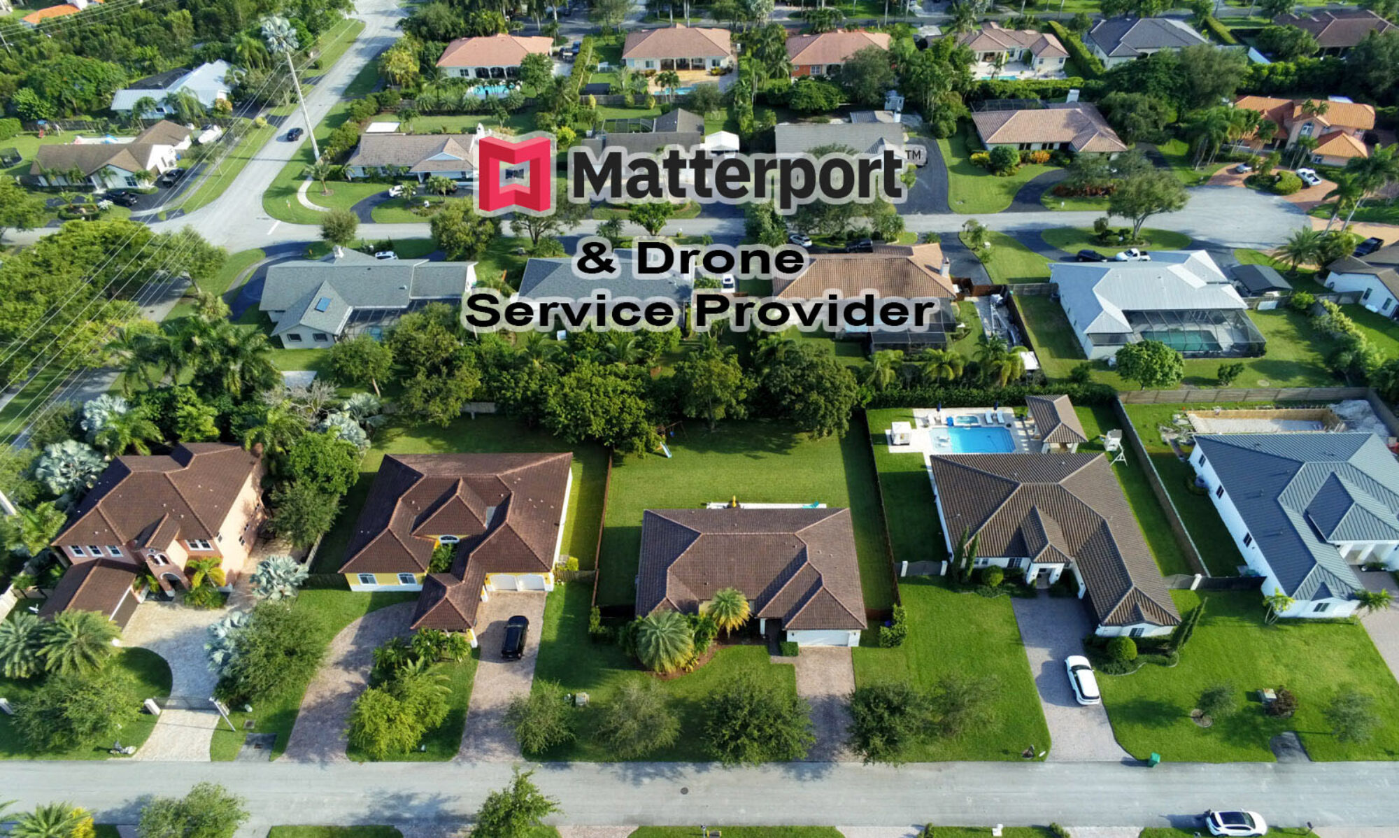
We also provide 360 Matterport and non-Matterport virtual tours and short videos for real estate marketing. Matterport virtual spaces are measurable to within 1% of accuracy.
Time Efficient
Point clouds can typically be created within 4-5 days after data acquisition. We can capture several hundred images of an area within a couple of hours. Depending on accuracy requirements, size, and topography, most projects can be completed within 10-15 days, greatly reducing onsite liability. Post-processing is performed off-site.
Cost Efficient
Because of its time efficiency and minimal crew requirements to perform missions, UAV drone modeling is very cost effective. Most jobs require only one or two operators. Drone-based modeling is very efficient and cost effective. Most jobs require one operator and in some cases, a visual observer. Whether it’s a corridor, a commercial site, neighborhood, or high rise building, this translates into less man-hours, and faster turn-around time, which means cost savings for our clients.
Safety
Safety is our primary goal for every job and considered in every step of the mission planning and executing process. Our UAVs allow us to maintain a flexible operating distance therefore, positioning ourselves away from harm’s way, be it further from active traffic, machinery, or dangers on the site. Our pilots are FAA certified and our drones are FAA registered.
Accurate Measurements
Our GNSS ground station offers increased accuracy beyond the drone’s internal GPS unit – which are generally designed for flight positioning vs accurate images. For jobs requiring higher than standard accuracy, we use a PPK process which increases the XYZ accuracy of the each image coordinate. This translates into models with better accuracy for reliable measurements of distance, area, and volume.
Virtual Tours
Whether it’s a residential house, commercial building, or construction site, our virtual tours allow visitors and stakeholders to explore the premises from their computer 24/7. With various panoramic photos taken at key intervals throughout the space, a visitor can make their way through, seeing the location from every angle. For construction sites, this is the perfect complement to a 3D model, allowing you to walk through the site, inspecting for possible issues that can be avoided, giving you remote job-site intelligence. They can also be retained throughout the construction process as historical time-lapse progress. For Realtors, this is an excellent way to showcase your listings. This saves you and your buyer time, and increases marketing efficiency. We also provide video tours which can be used in social media marketing or as teasers to attract buyers to the 360 virtual tour. Realtors can also request a 3D model of the exterior of the property, to increase interest and online visibility. For bigger or complex projects, laser scanning is also an option.
Part 107 Certified and Insured